A cold and frosty morning
Watnell is north of my location so the radio sondes launched from there need to travel south, which is unusual because the prevailing wind and the jetstream tend to be westerly. It was launched around 05:15 and I had been tracking it from about 07:00 watching it slowing approaching my location. It was due to land near Basing Wood on the north side of Basingstoke. I had walked through Basing Wood so I was familiar with the area.
After receiving the last reported position at around 08:45, my wife and I set off for Basing Wood, parking at the Popley Fields Community Centre. It was a cold and misty morning but it had been raining for the previous few days so the ground was quite wet and muddy in the woods.
I could not receive a signal from the radio sonde until we had traversed to the far norht of Basing Woods and on the edge of fields belonging to the Vyne estate. In the open fields, the ground was hard and frosty.
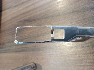
After recovery of the radio sonde and the parachute, we walked back through Basing Woods on a less muddy route back to the car park. We celebrated the recovery with a coffee and bacon roll at Dunelm about half a kilometer away on the A33.
The track of this radio sonde is recoded on radiosondy.info.